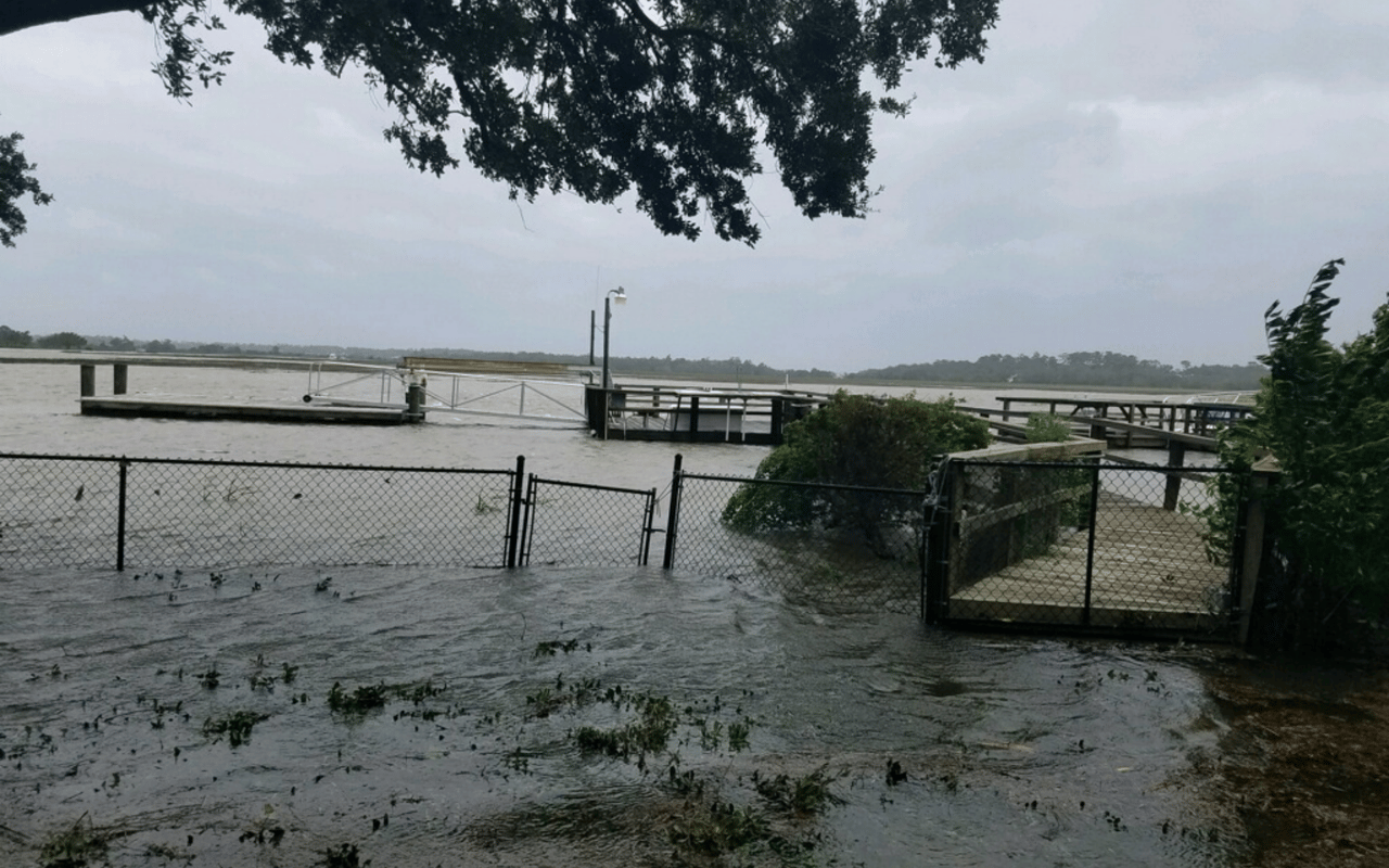
Flood Insurance - 2018 New Flood Maps
Local Page Aiken November 23, 2017
Local Page Aiken November 23, 2017


Stay up to date on the latest real estate trends.

Real Estate
May 2026
Real Estate
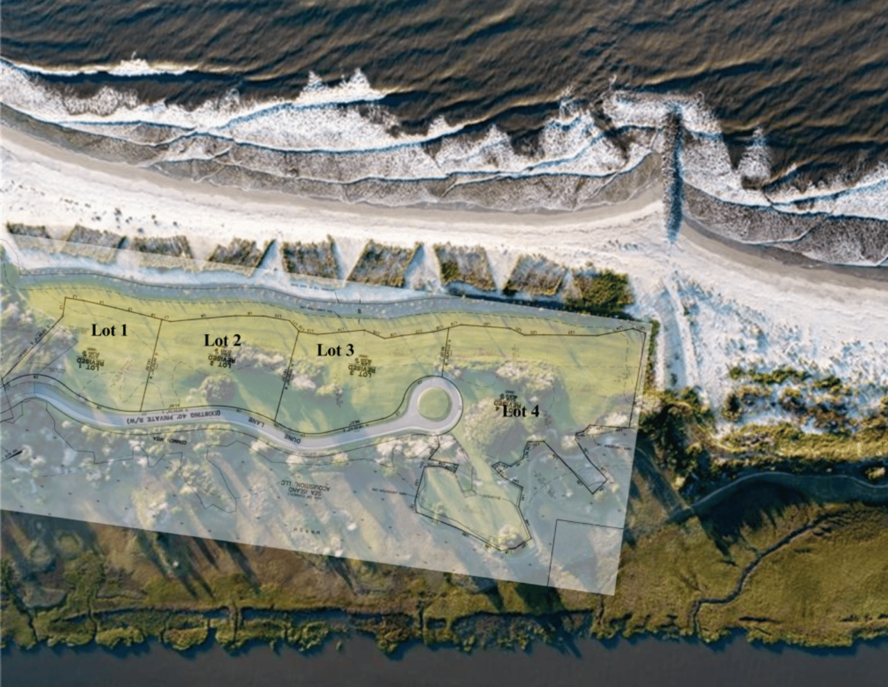
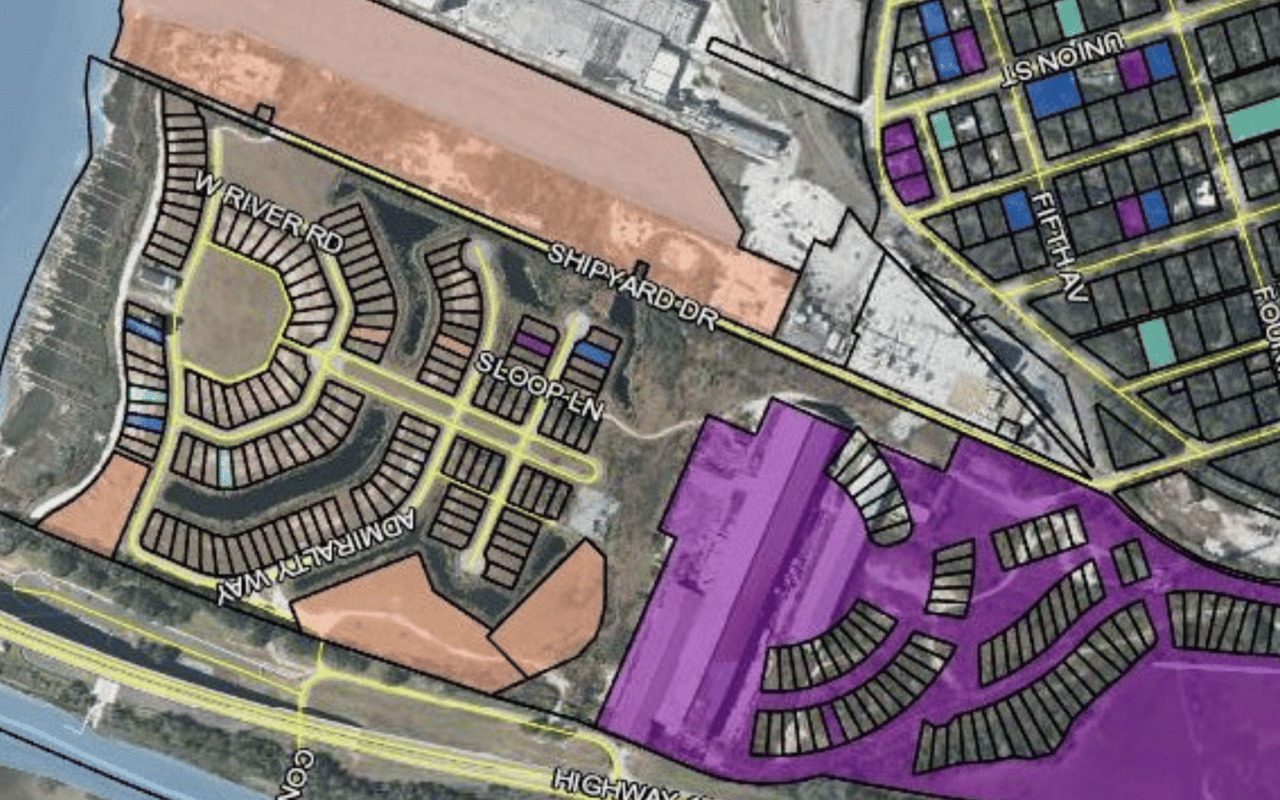
Liberty Harbor is poised to be the next great redevelopment success story in coastal Georgia.

Real Estate
The Island is full with folks enjoying the RSM golf tournament, and will stay and gather for Thanksgiving.
Real Estate
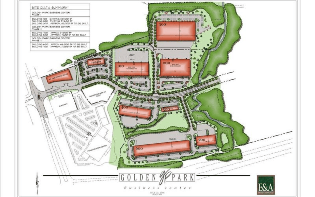
A new offering by Aiken Partners Real Estate. Located at the Golden Park Business Center in Buford, GA.
Real Estate
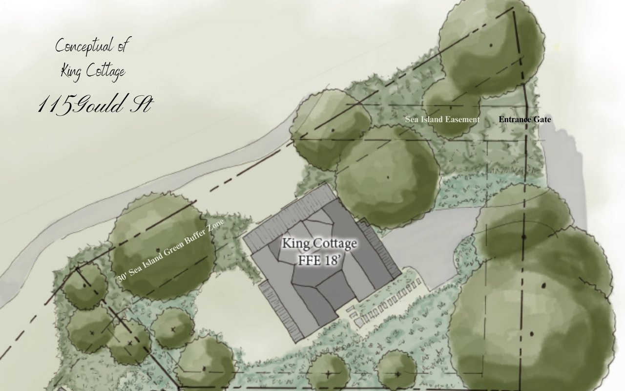
Page Aiken and his Luxury Team sold this stunning homesite at the end of Butler for $1.9 Million dollars.

Local
The Golden Isles has rallied around this mission, hosting Blue Skies camps and special weekend.
Real Estate
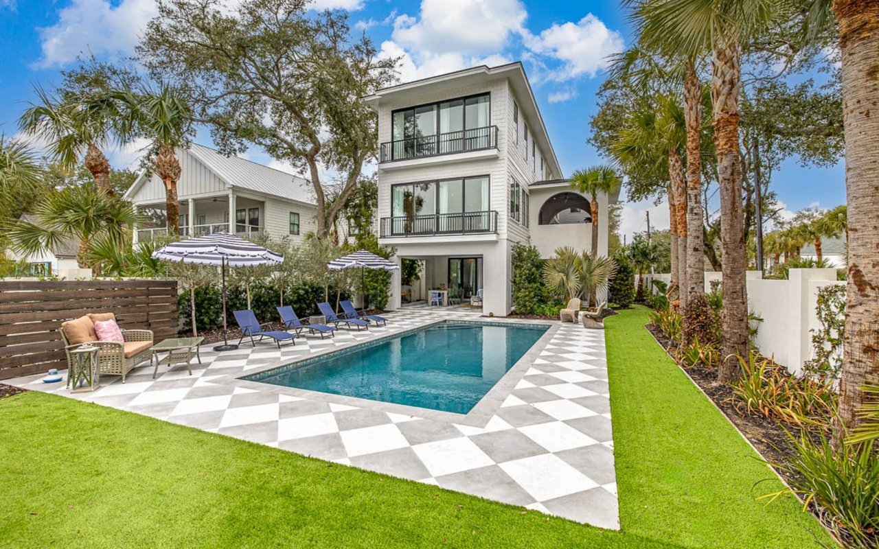
Page Aiken and his Luxury Team sold this beautiful East Beach home for nearly $4 Million Dollars.
Real Estate
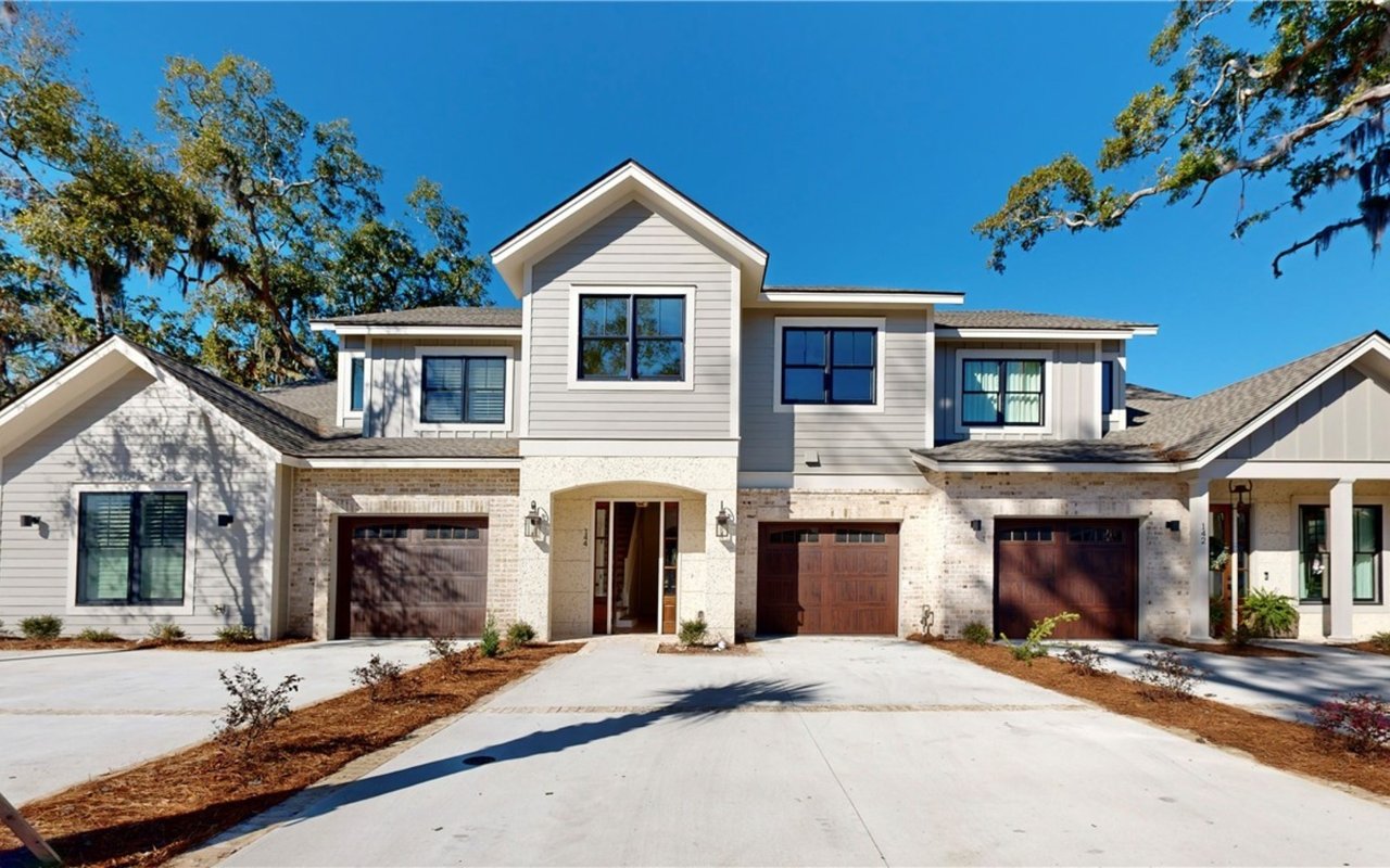
Enjoy the ease of townhome living, and enjoy the lifestyle, ambiance, and feel of old St. Simons.
A data-driven approach paired with international experience ensures every client benefits from a deeper understanding of market movement and opportunity.